Boundary Surveyor in the Hunter Region
- 100+ years’ combined experience
- Award-winning subdivision projects
- Residential & commercial surveying experts
Request A Call Back
Thank you for contacting Duggan Mather Surveyors.
We will get back to you as soon as possible.
Oops, there was an error sending your message.
Please try again later.
Hunter Region Boundary Surveyor
It only takes one wrongly placed fence or wall to create years of headaches. If you're building, renovating or buying land, knowing exactly where your property starts and ends isn’t just helpful—it’s essential. At Duggan Mather Surveyors, based in Taylors Beach and servicing the Hunter Region, we provide detailed boundary surveys to help property owners avoid disputes, council issues and expensive rework.
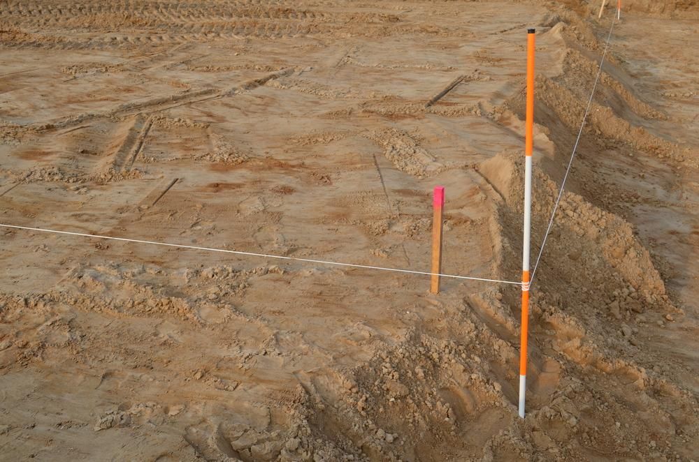
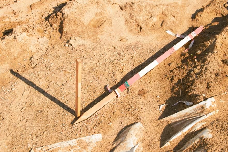
As the name suggests, boundary marking surveys identify and map the perimeter of a property. We will also physically mark the corners of your land in the process.
These surveys can be useful in situations such as:
- Boundary disputes
- Creating easement plans
- Installing fencing or retaining walls
- Identifying natural boundaries such as creeks or rivers
- Accurate boundary mapping & site marking
- Supports fencing, easement & legal planning
- Helps resolve boundary or title disputes
Call our boundary surveyors on 02 4919 0293 to arrange your service today.
Get It Right the First Time
We combine decades of experience with advanced surveying technology to determine your property’s legal boundaries—and mark them clearly on-site. Our process includes reviewing land titles, historical survey data and current physical features to give you a complete and accurate picture. Whether you're working with a builder, architect or solicitor, the plans we provide are legally sound and ready to be used for council submissions or legal documentation.
We also provide clear visual markers on the ground so you can move forward with confidence, whether you’re building a new retaining wall, selling land or just keeping the peace with a neighbour.
- Plans for legal & council use
- On-site marking to guide your build or fence line
- Tailored service for urban & rural lots
With Duggan Mather Surveyors, you're not left guessing. Get clarity before construction or sale.
Frequently Asked Questions
What is a boundary marking survey used for?
A boundary marking survey is used to physically identify the legal edges of a property. Surveyors review land titles and historical data, then mark out the corners and boundary lines using survey pegs or similar markers. These surveys are vital before installing fences, building structures close to a boundary or resolving disputes with neighbours. They ensure your property work stays within legal boundaries and avoids costly corrections later.
Is a boundary survey legally binding?
While a boundary survey itself doesn’t change legal ownership, it provides a professionally certified interpretation of your property’s legal boundaries. If done by a licensed surveyor, the results can be used as official evidence in legal proceedings or council submissions. The plans generated can be registered with appropriate authorities and serve as the basis for easements or development approvals.
How do I know if I need a boundary survey?
You should consider a boundary survey if you're unsure where your property ends, especially before building fences, retaining walls or new structures near a lot line. They're also important when subdividing land, creating easements, or buying and selling property—particularly in areas where titles are unclear or existing boundaries haven’t been formally surveyed in years.
I have a Limited Title. What does that mean?
A Limited Title in NSW is a Torrens Title where boundaries have not been verified by NSW Land Registry Services. Often arising from older conversions, this means the exact boundary location is not guaranteed, potentially allowing for encroaching claims. While you can buy or sell this property, lenders may require a costly survey to "remove the limitation".


