Land Surveyors in Port Stephens
- 100+ years’ combined experience
- Award-winning subdivision projects
- Residential & commercial surveying experts
Request A Call Back in Port Stephens
Thank you for contacting Duggan Mather Surveyors.
We will get back to you as soon as possible.
Oops, there was an error sending your message.
Please try again later.
Port Stephens Land Surveyor
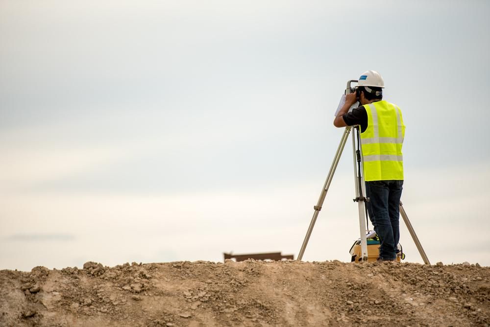
Planning a build, extension or development in Port Stephens? Start with a clear picture of your site. At Duggan Mather Surveyors, our land surveyors have been helping locals make informed building decisions for decades, with over 100 years of combined surveying experience.
We understand the local terrain, council requirements and development trends that are unique to the Port Stephens area. Our team provides accurate topographic, detail and level surveys that map out everything from land contours to existing structures and surrounding streets. These plans are essential for new builds, renovations and planning applications, giving your architect or designer everything they need to work effectively.
Whether you're working on a residential block or a multi-lot subdivision, we tailor every survey to match the job. Locals trust us for our honest advice, efficient turnaround times and deep knowledge of Port Stephens sites. We also collaborate directly with architects, planners and builders to keep your project running smoothly.
Call 02 4919 0293 to book your Port Stephens land survey and get expert support from the start.
Detailed Surveys for Confident Builds
When it comes to buildings in Port Stephens, no two properties are the same. That’s why we don’t take a one-size-fits-all approach. We start by understanding your site—whether it's sloping, near the coast or surrounded by established homes—and provide a survey that reflects your specific needs.
Our topographic and level surveys show key features like drainage lines, vegetation, driveways, fencing and nearby property boundaries. This information helps you design smarter, stay compliant with council rules and avoid unnecessary rework down the line. We use current surveying technology to deliver quick and accurate results, and we’ll keep you updated at every stage. We’re known for being responsive, easy to talk to, and focused on getting the job done right the first time.
Whether you’re an owner-builder, developer or contractor, we’re here to make sure your project starts on solid ground. Reach out on to chat about your site and how we can help.

Frequently Asked Questions
What’s involved in a subdivision survey?
Subdivision surveys break one parcel of land into two or more legal lots. The process involves measuring the land, preparing a new site layout and lodging formal plans with the relevant council or land authority. It includes identifying zoning compliance, access points, infrastructure needs and easements. Surveyors prepare documentation required for registration, council approval and titling. Whether you're creating residential lots or dividing rural land for family use, a subdivision survey is the first step to creating new titles or selling lots individually.
What’s the difference between a licensed and unlicensed surveyor?
Only licensed or registered surveyors can legally mark property boundaries, sign off on cadastral surveys, and lodge plans with land title offices. Licensing ensures the surveyor has met strict education, practical training and ethical standards. Unlicensed surveyors may assist with data collection, construction setouts or topographic mapping but cannot legally certify boundary positions. Engaging a licensed surveyor is essential for any work involving property boundaries, subdivisions, or registration. You can usually check a surveyor’s license status through your state or territory’s regulatory authority.
How long does a land survey usually take?
The duration depends on the type and size of the property, complexity of the terrain, and purpose of the survey. A basic boundary survey on a suburban block may take 1–2 days, including office work, while larger or rural sites could take several days to weeks. Topographic and construction surveys can be completed quickly but may require multiple visits. Factors like weather, site access and available records can also impact timing. Your surveyor will give you an estimated timeline after assessing your specific needs.
- Newcastle
- Lake Macquarie
- Maitland
- Wyong
- Gosford
- Singleton
- Forster
- Cessnock
- Taree


