Land Surveyors in Wyong
- 100+ years’ combined experience
- Award-winning subdivision projects
- Residential & commercial surveying experts
Request A Call Back in Wyong
Thank you for contacting Duggan Mather Surveyors.
We will get back to you as soon as possible.
Oops, there was an error sending your message.
Please try again later.
Wyong Land Surveyor
Getting the right survey at the start of your project can save time, money and a lot of stress later on. At Duggan Mather Surveyors, we offer professional land surveying services across Wyong, backed by over 100 years of combined industry experience.
Our land surveyors specialise in topographic, detail and level surveys tailored to the unique layout and development conditions of Wyong. Our surveys help builders, homeowners and developers understand their land and make informed decisions, whether they're planning a new build, renovation or subdivision.
We work closely with designers, engineers and councils to provide accurate data that supports every step of the approval process. You’ll get clear, easy-to-read plans, timely communication and expert support throughout the job. Locals choose us for our experience, practical advice and reputation for reliability across residential and commercial projects.
Whether it’s a flat urban block or a more challenging site, we’re ready to help. Call 02 4919 0293 to book your Wyong land survey or speak to our team today.
Clear Plans for Smarter Projects
A land survey isn’t just about ticking boxes—it’s about understanding exactly what you’re working with so you can build with confidence. In Wyong, where properties can vary from new estate lots to older rural blocks, we adjust each survey to match the site’s unique conditions.
We collect detailed data on elevations, existing features, property lines and surrounding infrastructure, then turn it into a clear plan your builder or architect can rely on. We use up-to-date tools and techniques to ensure accuracy, even on complex or sloped terrain. We also take the time to talk through your plans and answer questions so you’re not left guessing about what the survey means or how to use it. Our clients appreciate how easy we make the process—from the first enquiry to final delivery.
Whether you're preparing for development approval, construction or land sale, we’ll make sure you have everything you need. Get started today and let’s get your project moving.
Frequently Asked Questions
What is a height certificate or height check?
A height certificate confirms that a building’s finished floor or roof level complies with approved plans, building codes or council standards. It’s usually required during or after construction to prove the structure has been built to the correct elevation—especially when height restrictions apply. Surveyors use tools like total stations or GPS to measure and compare on-site levels with those specified in architectural drawings or DA approvals. The certificate may be requested by a certifier or council before issuing an occupation certificate. It’s vital for avoiding compliance issues or delays.
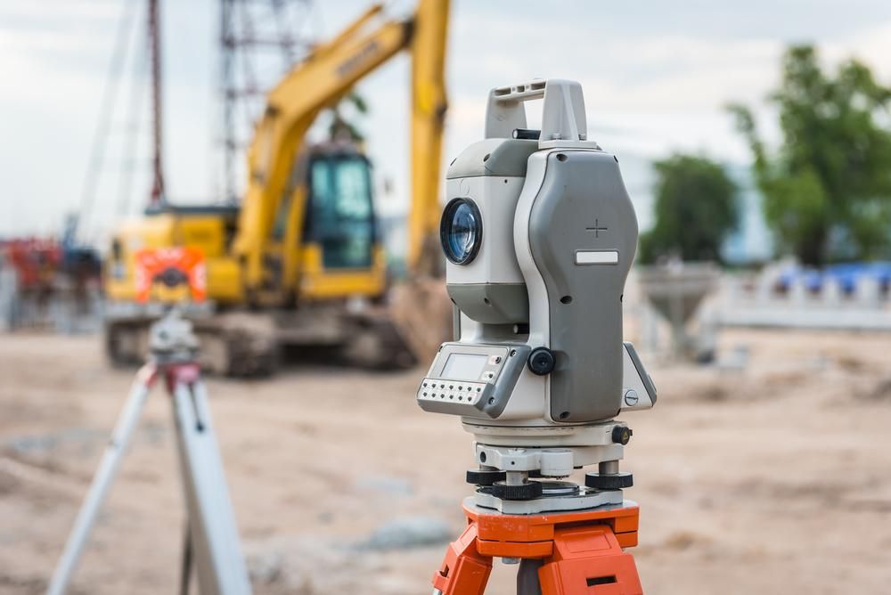
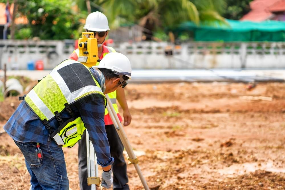
What equipment do surveyors use today?
Modern surveyors use a combination of high-precision tools including total stations, GNSS/GPS receivers, robotic instruments, drones (UAVs), and laser scanners. These tools enable accurate measurement of angles, distances, elevations and features on the land. Software is also used for drafting plans, analysing data and creating 3D models or digital terrain maps. The combination of traditional methods and advanced technology ensures efficient and accurate results. The tools used depend on the site, level of accuracy required, and type of survey. Many surveyors also carry backup gear for field verification.
Can a survey show flood risk on a property?
Yes, a survey can help identify whether a property lies in a flood-prone area by comparing elevations to known flood data or overlays from local authorities. A detailed or level survey can establish ground levels and show how water may flow across or collect on the site. This information is useful for flood mitigation planning, determining build height, or meeting council drainage and zoning requirements. While not a substitute for a formal flood risk report, it provides valuable insights that architects and engineers can use in design and site planning.
- Newcastle
- Lake Macquarie
- Port Stephens
- Maitland
- Gosford
- Singleton
- Forster
- Cessnock
- Taree


